Wednesday, 4 November 2015

Day 9 Brodick to Glespin

Ardrossan
Horse and I emerged from the iron womb of the ferry and into drizzle at 9.30am, leaving only 7 hours of reasonable daylight. The plan was to head mainly in an easterly direction and join up with the NCN74 heading south along the B7076. There were more direct routes to the border, but I'd read bad things about those busy roads, and at least one end-to-ender had been killed on them. A wide pedestrian/cycleway shared the promenade into Saltcoats, where a road closure prevented me from joining the coastal path, so I had to head into the town on a B road. The
NCN73
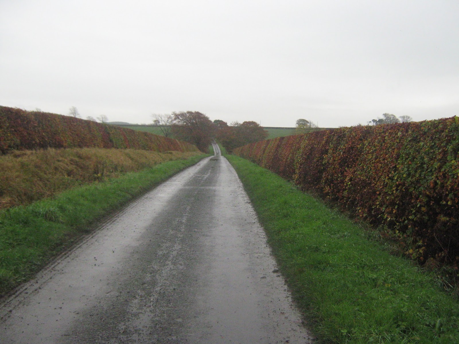
diversion was poorly signed and it was a Saltcoats mystery tour until I saw the next blue NCN73 pointing into some parkland. The cycle route was surprisingly enjoyable, generally avoiding built-up areas and following rivers and farmland to Kilmarnock, where I took a B road to Hurlford and onto the old railway leading to Galston. From Glaston I was in a navigational black hole. In an effort to save weight I'd thrown away the atlas map of the Isle of Arran without checking the other side, which of course was the section I now needed. Judicious use of two posties saw me into Sorn, where I stopped at a cafe for a couple of slabs of gooey stuff and a pot of tea.
Along the River Irvine
Chris Hoy Cycleway to Galston
"Are you setting in?" the lady asked. For a minute I was flummoxed. Was this the Ayrshire way of asking if I was setting out i.e. on a journey. I was about to give a swift resume when I thought she might be enquiring about the weather i.e. was the rain setting in. But it hadn't started yet. She must have spotted the blank look on my face and rephrased her question. "Would you like to eat in here or outside?" Ah, my light came on. "I'll be setting in thanks."
Back road to Sorn
From Sorn I took the B743 east for about 10km along the River Ayr, before joining the A70 with some trepidation. This was one of the longest sections of 'proper' A roads on the trip, though only the first one since leaving Ardrossan. The traffic was fairly light, though I still had a scary truck that overtook while there was a car coming from the opposite direction. It was far too close for comfort. I was relived to reach Glespin and turn off the A road. There was a great wee camping spot by the river, under some large beech trees, but with a sewerage farm just upstream, and lots of foam on the surface of Douglas Water, I biked back into Glespin to fill up the waterbag at the first house.
I brewed up and made a stir-fry, read a few chapters of my book and turned in early.

Day stats 85km 586 Metres of ascent
Off road 29km 
A road 17km 
B road 32km  single lane 
Unclassified road 7km

Tuesday, 3 November 2015

Day 8 Tarbert to Brodick

Tarbert
There was no great rush to get started, with the ferry not leaving until midday. I tried to have a lie-in, but the body clock seemed programmed for an early start, so I bought a paper and sandwiches, then had breakfast. There were no concessions for a healthy breakfast. It was a fry-up or nothing. Then I went back to the Cafe Ca'Dora for a coffee, where I was all but driven out by the loud piped heavy metal music, then read in a small shelter before getting on the ferry. It was almost 2pm by the time I left Lochranza on the Isle of Arran.
'The String', Isle of Arran
To avoid the A road I took the minor road around the western shore, which was initially easy until I rounded the corner and hit the headwind, which instantly knocked 5kph off my speed.A nearby buzzard launched from a telegraph pole and glided along the road in front of me before lifting itself up to settle on the next pole. As I came alongside it repeated the feat, flying effortlessly into the wind without a single wing beat while I flailed along behind. It landed on a pole and watched me approach, before repeating its performance for the third time. I began to think that this was some sort of avian piss take, and as I caught up to it I was fully expecting a repeat of its show. But it just eyed me intently as I approached, shat, then took off and disappeared over a hill.I crossed over to the east side of the island via the B880 or 'String Road'. The traffic was reasonably light but I still pulled over a couple of times to let trucks pass. There was descent, though the tarmac was so patched I held back the speed fearing a blowout. I was in Brodick a couple of hours after leaving Lochranza, much faster than expected. I stocked up on food and water and headed off into the dunes near the golf course and camped for the night.

Day stats 40km 589 Metres of ascent
Off road 2km 
A road 3km 
B road 9km  single lane 

Unclassified road 26km

Monday, 2 November 2015

Day 7 Loch Awe to Tarbert

Loch Awe
Undulating Loch Awe backroad
It was a cold night, and I had to put cycle shorts and thermals on in the night. Morning lethargy saw me lifting the bike over the gate at 9am, though there wasn't a great rush. The winter ferry timetable had started on 1st November, and there was only one daily sailing to Arran, at midday. I would have preferred to sail to Arran from Claonaig, but that service had closed for the winter. Loch Awe is Scotland's longest, stretching to 41km, and my road along the west shore was 25km. It was a quiet road, but a real dipper ride of hills, and the brakes were soon showing a marked reluctance to bring Horse to a halt. At the top of particularly bad hill I pulled over for a coffee and adjusted the brakes, glad for an excuse to stop. Just beyond Ford and Loch Underline I turned left onto a backroad that took me past Loch Lethan, with its artificial island crannog. It was delightful road, with a mohican centre strip of grass, a sure sign of little traffic. At Bridgend it started to drizzle, and by the time I reached Lochgilphead it was hosing down. I bought sandwiches in the co-op and ate them sheltering in the entrance before heading down the A83 for the 20k's or so to Tarbert. The road was fairly quiet, but as it was so gloomy I had all lights blazing. The road went inland around Barr Hill, and a grungy climb of some 175 metres, then it was downhill all the way into Tarbert. I was too wet to think about finding a camping spot, so I booked into a small hotel which seemed to be one
Backroad to Bridgend
of the few places still open. It was a wee cramped room on the top floor, not even space to pitch the tent and dry it out!
Later I headed out to find a place to eat. I found a restaurant at the south end, and the menu in the window had lots of interesting-looking seafood. I pushed the door; it was locked. Then I saw a small sign in the window: CLOSED UNTIL SPRING. I went back to the hotel's bar, ordered a pint then asked for the menu. 'We don't do food on Monday's'. I drank up and went back out, eventually finding the Cafe Ca'Dora where I had an excellent seafood pie.
Back in the hotel the energy-saving lightbulb in the shared bathroom blew. It had hung there like a curly pig's tail, giving out just the faintest of pink glows. It wasn't the best £55 I'd ever spent.

Loch Lethan and crannog
Day stats 68km 549 Metres of ascent
Off road 3km 
A road 24km 
B road 2km  single lane 
Unclassified road 39km


Sunday, 1 November 2015

Day 6 Corran Ferry to Loch Awe

Start of the Ballachulish-Oban cycleway
Castle Stalker
The first ferry of the day saw me over the Corran Narrows at 8.30. The clouds were hanging over the Ardour peaks, but it looked a promising day. I stocked up on an evening meal in Onich, then it was over the Ballachulish Bridge, with fine views of Glencoe. Beyond the bridge the NCN78 largely followed the old railway, which once went from the Ballachulish slate quarries to Oban. The railway closed in 1966, probably in disgust at England winning the world cup. It was cold in the shade, and the great horseshoe of Beinn a Blether, Mountain of the Thunderbolt, loomed to the south. This path was an absolute delight, hugging the coastline, and swinging to the south-west and into the headwind, not quite so delightful. Just beyond the Sound of Shuna there was a great view of Castle Stalker, so I stopped at a stone bench and made a coffee. I chatted to an American couple. "The castle looks familiar" one said. I mentioned it was in Monty Python and the Holy Grail, and he instantly replied with "Your mother was a hamster and and your father smelt of elderberries." I tried not to take it too personally though.
Strath of Appin
NCN78, Glen Lonan
Through the Strath of Appin the sun became a permanent fixture, and there were fine views up Loch Creran. The tidal Falls of Lora were in full flow at the outlet to Loch Etive; they must be quite some spectacle on a large spring tide. I bypassed Oban by staying on the NCN78 which followed a very quiet undulating road past Barran Caltum, then turned east along Glen Lonan. Despite being on a tarmac road it was the highlight of the day: a cloudless sky, short-cropped rolling pasture, and flocks of black-faced sheep, a picture which shouted "Camp here!" But it was only just gone 1pm, too early to call it a day. The peaks of Ben Cruachan, Stacky Hill, came into view, and there was a long descent into Taynuilt where I bought some cream cheese and baps, suspecting that the pasta meal wasn't going to fill me up. A 200 metre ascent of Glen Nant kept the body temperature up despite the coolness in the shade, and it was 4pm by the time I reached the western shore of Loch Awe and started looking for a camp spot. After a couple of forays into fields I found a rough track leading down to the loch side and a perfect place for the night. The temperature was rapidly falling so I put the stove on for a brew while I erected the tent, and quaffed a litre of tea while enjoying the last half hour of light. 
The pasta meal didn't fill me up, so I made a cheese bap as well. This was shortly followed by the three remaining baps! The plan for tomorrow was to follow the backroads to Lochgilphead, the unavoidable A road to Tarbert, then the ferry to the Isle of Arran the following day. This would avoid the worst of the Central Belt conurbations.

Loch Awe
Day stats 88km 480 Metres of ascent
Off road 41km 
A road 4km (much avoidable on pavement)
B road 11km (8km single lane B road)
Unclassified road 32km


Saturday, 31 October 2015

Day 5 Kytra Locks to Corran Ferry, Ardour

Moy swingbridge
Cycleway over River Lochy, Fort William
It was a bad night's sleep, with heavy rain and wind. A peg had pulled out in the night, and the sleeping bag and gear at the tent foot was wet. I missed the alarm, and didn't get away much before 8am, fully waterproofed up in the rain. At least it was still mild, so I dispensed with the gloves. The compacted gravel of the towpath was fine to cycle, though the headwind was already up and running. The east side of Loch Oich followed the extinct Fort William to Fort Augustus railway, the first of many on the trip. After another section of towpath the route then followed another rough forestry track on the west side of Loch Laggan, and a big rock on a descent caused puncture number two, no fun in strong winds and rain. I was glad to regain the towpath at Gairlochy, and I stopped to read some info boards on the commandos, who had practised their landings in the area, under a hail of live ammunition which apparently didn't miss by much!
Camusnaguel Ferry
The rain finally called it a day, though the headwind was happy to keep going, and Ben Nevis cleared enough to reveal snow still left over from the previous winter. A short road section led to a cycle path into Fort William, where I stocked up on sandwiches before heading down to a small quay to catch the Camusnagaul Ferry across Loch Linnhe to the Ardour Peninsula. Here the NCN78 follows the quiet single lane A861, rather than the busy A82 on the east side of the loch. It was a blissful 17km, and I met just one car.
I booked in to the Ardour Inn near the Corran Ferry; it was time for a bit of comfort, plus I had a match to watch. It was the rugby world cup final, and after living in New Zealand for over twenty years an All Blacks-Wallabies showdown was something I didn't want to miss!
Before the match started I converted the bedroom into a drying room, with bits of kit hanging from every protuberance, and a tent erected at the bed foot, and watched the first half lying on the bed before heading down to the bar for a couple of pints of Guinness and the second half. After the match I had an hour's dozing back in the room, then went back to the bar for a meal. I thought for a minute I was hallucinating: the bar was full of zombies. Then I remembered it was Halloween, and relaxed.

Day stats 65km 720 Metres of ascent
Off road 37km 
A road 17km (all single lane)
B road 10km (6km single lane B road)
Unclassified road 1km


The Inn, Ardour